NATIONAL NEWS - The South African Weather Service (SAWS) on Monday warned of a wet and cold week ahead, as temperatures plummeted due to a cold front moving over the eastern parts of the country over the weekend.
“The cut-off low-pressure system will be responsible for the majority of adverse weather expected this week, including snowfall accumulation “of between 5 to 15 centimeters over Lesotho and the southern Drakensberg mountains in the Eastern Cape”.
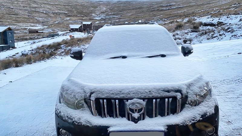
Social media was abuzz with videos and images of snow turning Southern Africa into a winter wonderland. Afriski shared footage of an icy drive along the Mountain Resort pass while Semonkong Lodge shared the excitement of the first snowfall for the region.
Snow in the Eastern Cape, Free State, and KZN
The South African Weather Service also predicts showers and thunderstorms over the Easter Cape province “as the high-pressure system ridges in, combined with the influence of the upper air cut-off low located over eastern parts of the country”.
“Heavy rain over the Eastern Cape is expected to result in localised flooding of roads and settlements along the Wild coast and adjacent interior from 1 June 2021 into 2 June 2021.”
Small stock farmers in the Free State are warned to provide shelter for their animals ahead of the wet, windy, and cold conditions expected. Light snowfalls are expected over the high-lying areas of Memel, Ficksburg, Fouriesburg, and Clarens.
In addition, temperatures in KwaZulu-Natal are expected to “drop significantly” this week. Residents in the extreme western parts of the province should expect significant snowfall, disruptive rain, and localised flooding.