The 'big daddy' of these rivers, the Gourits, by far the oldest river, geological speaking, carved through the mountain ranges to the north. In the process, it managed to connect with the rivers in the Klein Karoo, draining them of their waters and collecting sediments and larger materials even from the other side of the Swarberg range as far afield as the Nuweveld mountain range. In the latter, activity well assisted by the Gamka.
One can easily say that in conjunction with the Breede River, both of these rivers were mainly responsible for building the great continental shelf, the Agulhas Bank. The gravels and finer sediments so deposited, covered the cretaceous seabed materials and in the process created gas fields now being explored and processed by PetroSA.
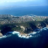
At the Gourits river inflow into the ocean, we also note that the original river mouth now appear much deeper into the ocean because of the rising of the sea-level – a phenomenon which is called 'the drowning of a river mouth'. The Keurbooms river much further to the east provides another fine example.
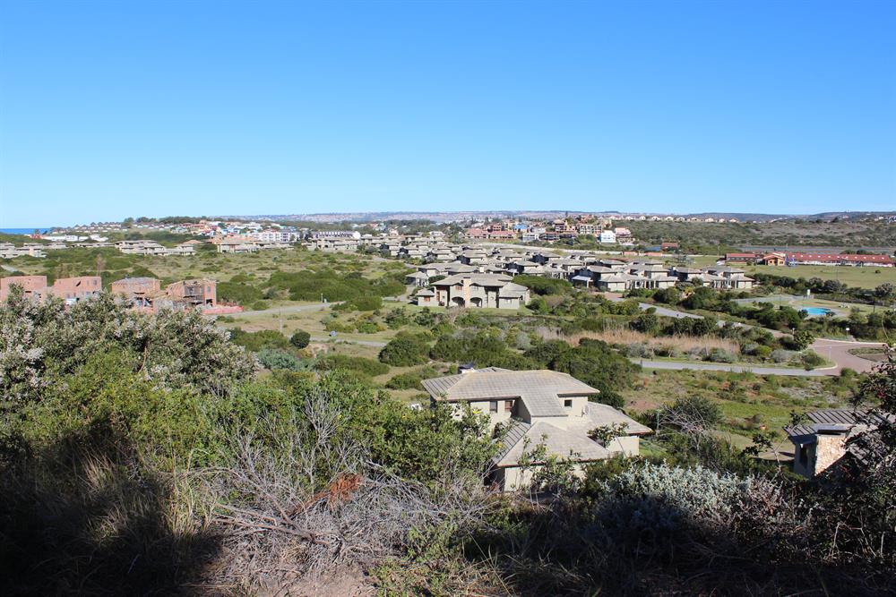
Further to the east, we have the Hartenbos, Klein-Brak and Groot-Brak rivers, much younger and local to the coastal area. Interesting here that although these rivers, geological speaking, are quite young, they already managed to erode much of the surrounding landscape. For instance, in the flood-plain of the Hartenbos river in the nature conservation estate, the Hartenbos Landgoed, one can pick up a handful of sand and analyse the contents. You will than note a variety of sediments: sandstone and quartzite grains, minute pieces of quartz crystals, seashells, silicon, feldspar, shales and ore. Most of these materials were carried by the river from the upper countryside and the mountain range to the north. Sea deposits happened mostly when the sea level rose.
Further towards George on a higher level, we cross the Maalgate and Gwaing rivers, cutting deep ravines in the harder rock formations. Other rivers such as the Kaaimans, Touws, Goukamma and Keurbooms are also major landscaping contributors.
Next week we turn a page to discuss more of the rock formations and the Cape St Blaize cave at Mossel Bay.
In the flood-plain of the Hartenbos river in the nature conservation estate, the Hartenbos Landgoed, one can pick up a handful of sand and analyse the contents.
'We bring you the latest Mossel Bay, Garden Route news'