GARDEN ROUTE | HESSEQUA | KAROO NEWS - A weak cold front is passing over the Cape today, Monday 29 June, bringing isolated showers for the south-western coast and spreading to the south coast this evening. Similar to today, two more fronts are expected for Thursday and Sunday.
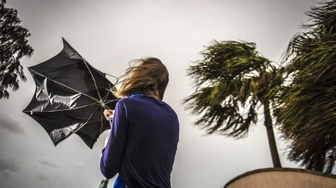
With the passage of each front, wind is expected to increase to 15-25kt (30-50km/h).
Wave height is expected to range between 16:00 and 17:00 today (Monday) and peaking between 16:00 and 18:00 on Friday, into Saturday morning. Wave height again picks up to 6 to 8 metres on Sunday. Sea conditions will likely be unsettled for the entire week.
Beachgoers and anglers must be cautious of relatively large, powerful waves amongst long lulls of mediocre waves.
“The concern is for anglers and beachgoers to be caught off guard from these irregular large waves and potentially be swept off the rocks. These large waves may also have the potential to damage some vulnerable coastal infrastructure,” reads the statement by the South African Weather Service.
'We bring you the latest Garden Route, Hessequa, Karoo news'