GARDEN ROUTE | KAROO NEWS - The South African Weather Service (Saws) has released its latest weather forecast for Wednesday, 9 October.
The weather service has warned of severe thunderstorms with damaging winds, excessive lightning and hail in parts of KwaZulu-Natal and Mpumalanga and extreme fire danger in the Northern Cape and Western Cape.
Here’s what you need to know.
Weather warnings, 9 October
Impact-based warnings
The weather service has issued a yellow level 2 warning for severe thunderstorms with damaging winds, excessive lightning and hail that will result in localised damage to informal/formal houses (roofs) over an open area, structural damages (homes, car ports, etc) and localised service disruptions and fire incidents due to power surges.
This is expected to happen in the western parts of KwaZulu-Natal and the eastern highveld escarpment of Mpumalanga.
Fire danger warnings
Extremely high fire danger conditions are expected in places over the central and eastern parts of the Northern Cape and the north-eastern parts of the Western Cape.
Provincial weather forecast
Here’s what to expect in your province on Wednesday, 9 October:
Western Cape:
Western Cape residents can expect cloudy skies along the coastal areas in the morning with fog in places; otherwise, it will be partly cloudy and warm but hot over the eastern interior.
The region’s expected UVB sunburn index is “very high.”
Residents should take the necessary precautions against prolonged sun exposure.

Eastern Cape (western half):
There will be warm weather along the coast; otherwise, it will be partly cloudy and hot with isolated thunderstorms, except for the coastal belt.
Eastern Cape (eastern half):
There will be warm weather along the coast; otherwise, it will be partly cloudy and hot with isolated thunderstorms, except for the coastal belt, west of the Kei River mouth.

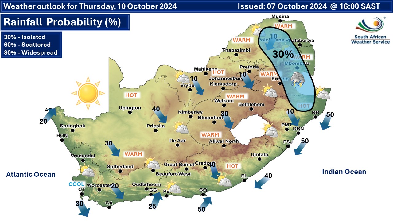
Weather outlook for Thursday, 10 October
‘We bring you the latest Garden Route, Hessequa, Karoo news’