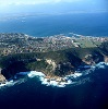
MOSSEL BAY NEWS - Mossel Bay Municipality's Environmentalists and Conservationists have approached the relevant authorities for a Section 30A Directive for the breaching of Klein Brak Estuary.
The application follows a meeting on Wednesday, 25 August, regarding the river and is related to the meeting where the relevant authorities approved that an application may be submitted.
As per the resolution at the most recent Breaching Committee meeting on 25 August, Mossel Bay Municipality is therefore applying for a section 30A Directive for the opening of Klein Brak Estuary.
Nature of the situation
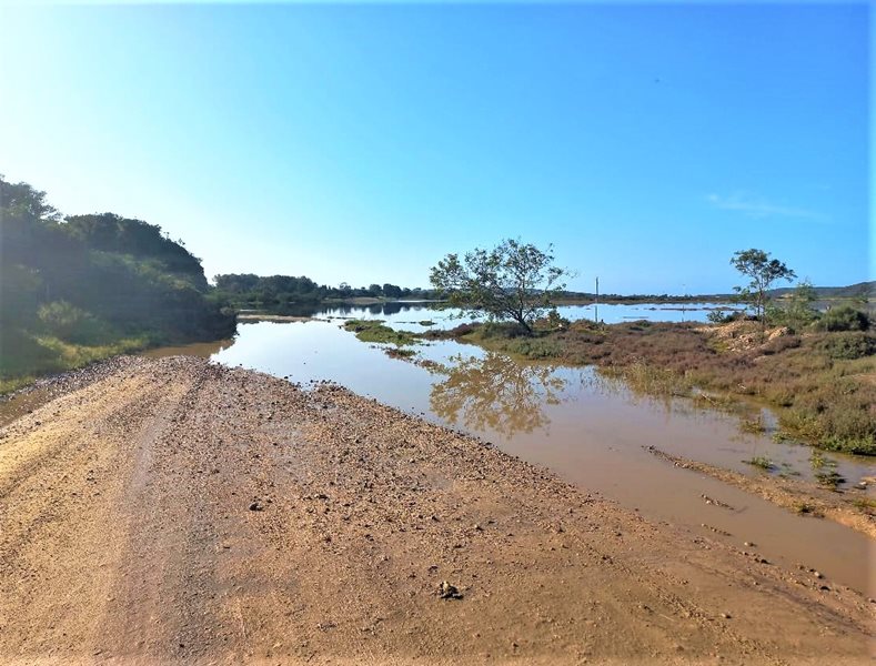
The Klein Brak Estuary is closed, and the berm is approximately 0.5 m high. Over the last two weeks, the river levels have been rising as per the Department of Water and Sanitation's (DWS) information and the information received from Cape Nature.
The SA Weather Service (SAWS) has issued heavy weather warnings for the area as of Friday, 27 August.
Water levels in Estuary started rising steadily over the past week and were at approximately 1.708 at 07:00 on 26 August, as per the DWS website. Note that this is after the correction of -0,522m.
In addition, water level data from DWS flow meters on the Brandwacht and Moordkuil rivers show that water is still flowing in from the catchment. Water from the sea is also overtopping into the river at High tide.
The berm at the river mouth is estimated to be at least 0.5m high and 50m wide, like the conditions when the previous section 30A directive was issued.
Risk Posed to safety, public, and property
The high-water level has resulted in the following:
- flooding of a private road which is the only access to homesteads on the western bank of the river,
- flooding of the access road to the public boat launching site near Power Town.
- Flooding of the access road on Western Bank has meant these residents have difficulty accessing their homes safely,
- flooding of the boat launching access road means that the boat launching site cannot be used, and
- the existing municipal ablution block is at risk.
Rising water levels also pose a risk to residents and road infrastructure. It poses a risk to residents and municipal infrastructure in low-lying areas.
A recent flood-line determination project conducted by DEA&DP found that a closed mouth is the most significant risk factor for potential flooding.
Steps that need to be taken by relevant authority/description of activity:
- The opening of the River mouth via the excavation of a channel approximately 4m wide and 50m long, which goes from the head of the estuary to below the high-water mark.
- It is proposed to commence the implementation of these measures should we get heavy rains and the river reaches a level of 1.8m or if there is an emergency event.
 Water levels in Estuary started rising steadily over the past week.
'We bring you the latest Mossel Bay, Garden Route news'